

Met Office upgrades Storm Darragh warning to red
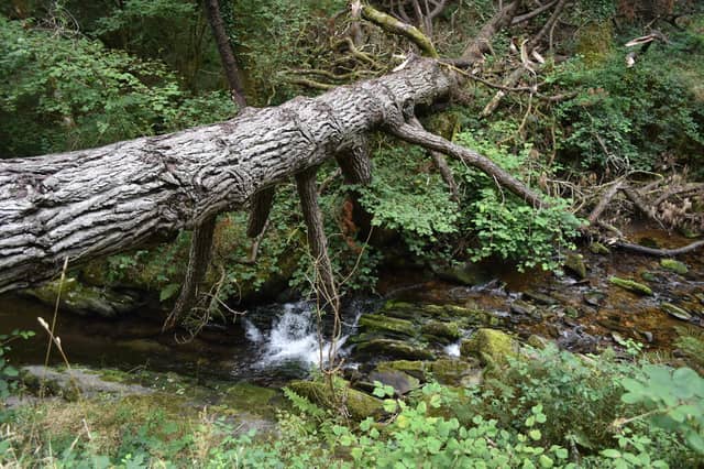

Extreme winds and danger to life expected
The Met Office has issued a rare red warning for parts of North Devon as Storm Darragh is set to bring extreme winds and hazardous conditions this weekend. Areas including Ilfracombe, Lynton, Woolacombe, Combe Martin, and surrounding regions are expected to experience some of the most severe impacts.
Significant disruption expected
The upgraded warning signals a "danger to life" due to flying debris and falling trees, alongside potential structural damage to homes and buildings. Power cuts are anticipated, which could disrupt mobile phone services and other utilities.
Road, rail, and ferry services are likely to face cancellations and long delays, with major roads and bridges at risk of closure. Coastal areas may see large waves and beach material thrown onto seafronts and properties, compounding the danger to life.
What to expect
- Danger to life: Flying debris, falling trees, and large waves.
- Disruptions: Power outages, road closures, and transport cancellations.
- Structural damage: Roofs blown off and power lines brought down.
Met Office advice
Residents are urged to take precautions and avoid unnecessary travel during the storm.
- Secure loose items outside, including garden furniture, decorations, and bins.
- Stay indoors where possible to reduce the risk of injury.
- Prepare for potential power cuts by gathering torches, batteries, and power packs.
- Stay away from coastal areas due to large breaking waves, which can be life-threatening.
The Met Office has highlighted that the strongest winds will hit early Saturday morning, with gusts over 90 mph in some coastal areas. Conditions are expected to ease slightly by late morning, but amber warnings will remain in place for the rest of the day.
For emergencies, contact 999 and ask for the Coastguard if near coastal areas.